‘SafeCrossing’
is the synergy
between citizen participation,
scientific research
and the responsible
road authorities

Citizen Participation
Each participating city or municipality invites citizens (young and old) to mark points on a map where they believe safer crossing places would be desirable. This campaign runs for at least one month and is promoted through all possible channels: social media, municipal newsletters, schools, associations, and more. Locations can easily be marked via a dedicated QR code or through the website.
Scientific Research
When the campaign has ended, all marked locations on the map are scientifically evaluated by the Vias institute.
The Vias institute developed a useful tool to rank dangerous crossing locations. Factors considered when calculating the score include previous accidents at the location and the severity of those accidents. The presence of schools, bus stops, and playgrounds or sports grounds in the immediate vicinity is also considered in determining the score. Thanks to this tool, the relevant road authorities can relatively easily receive a ranking of locations reported by citizens. This form of “citizen science” creates broad public support, as citizens are actively involved in shaping road safety policy.
The Vias institute developed a useful tool to rank dangerous crossing locations. Factors considered when calculating the score include previous accidents at the location and the severity of those accidents. The presence of schools, bus stops, and playgrounds or sports grounds in the immediate vicinity is also considered in determining the score. Thanks to this tool, the relevant road authorities can relatively easily receive a ranking of locations reported by citizens. This form of “citizen science” creates broad public support, as citizens are actively involved in shaping road safety policy.
IMPLEMENTATION OF
SAFE CROSSING POINTS
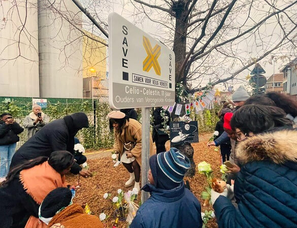
With this valuable data, the responsible road authorities can work towards creating safer crossing points. These authorities include the respective cities and municipalities (responsible for local roads) and the Roads and Traffic Agency (Agentschap Wegen & Verkeer, responsible for regional roads). Together with Parents of Road Victims - SAVE, the responsible road authorities inform citizens of any decision to create a safe crossing point.
Our Tutorial
Discover the answers to the most frequently asked questions
Frequently Asked QuestionsOr contact us via the contact form